Naturally, the networked structure of watercourses offers great potential for the networking of habitats and thus also for compensation measures. The idea of connectivity is also reflected in the state-wide biotope network of the state of Baden-Württemberg and in particular in the biotope network of water landscapes. However, it often fails because of municipal boundaries. Enhancement measures started in one municipality, e.g. to improve river beds, are not continued by the neighboring municipality. Continuous connectivity remains fragmented.
Consistent enhancement of the natural environment along watercourses requires cooperation between municipalities at an early stage.
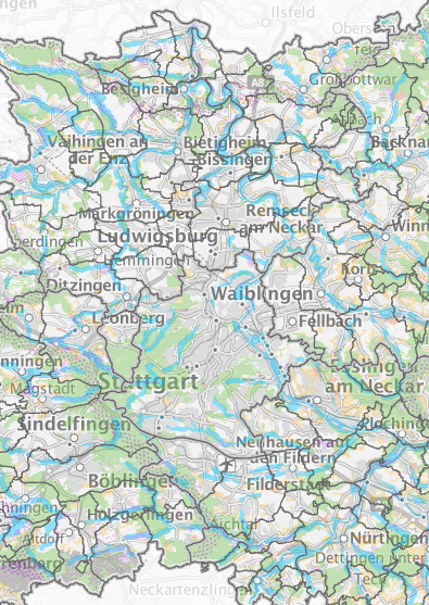
In the RAMONA project, a search area map was developed for the Stuttgart region, which shows areas where enhancement through compensation measures would be sensible and possible. The search area map takes particular account of the idea of bundling compensation measures as well as aspects such as multifunctionality and land economy. It is based on the network of watercourses and focuses on smaller watercourses that fall outside the Water Framework Directive (WFD).
The regional search area map can help planners at municipal level to find potentially suitable areas for compensation measures. Of course, further local factors must be taken into account in each individual case and an in-depth technical assessment must be carried out.
Model for watercourses and floodplains

The Stuttgart Region has a wide variety of landscapes. One of these is the watercourses and floodplains. What are the current characteristics of watercourses and floodplains and what would they look like in their ideal state in the future? The document discusses how compensation measures can contribute to achieving the ideal-typical state.


