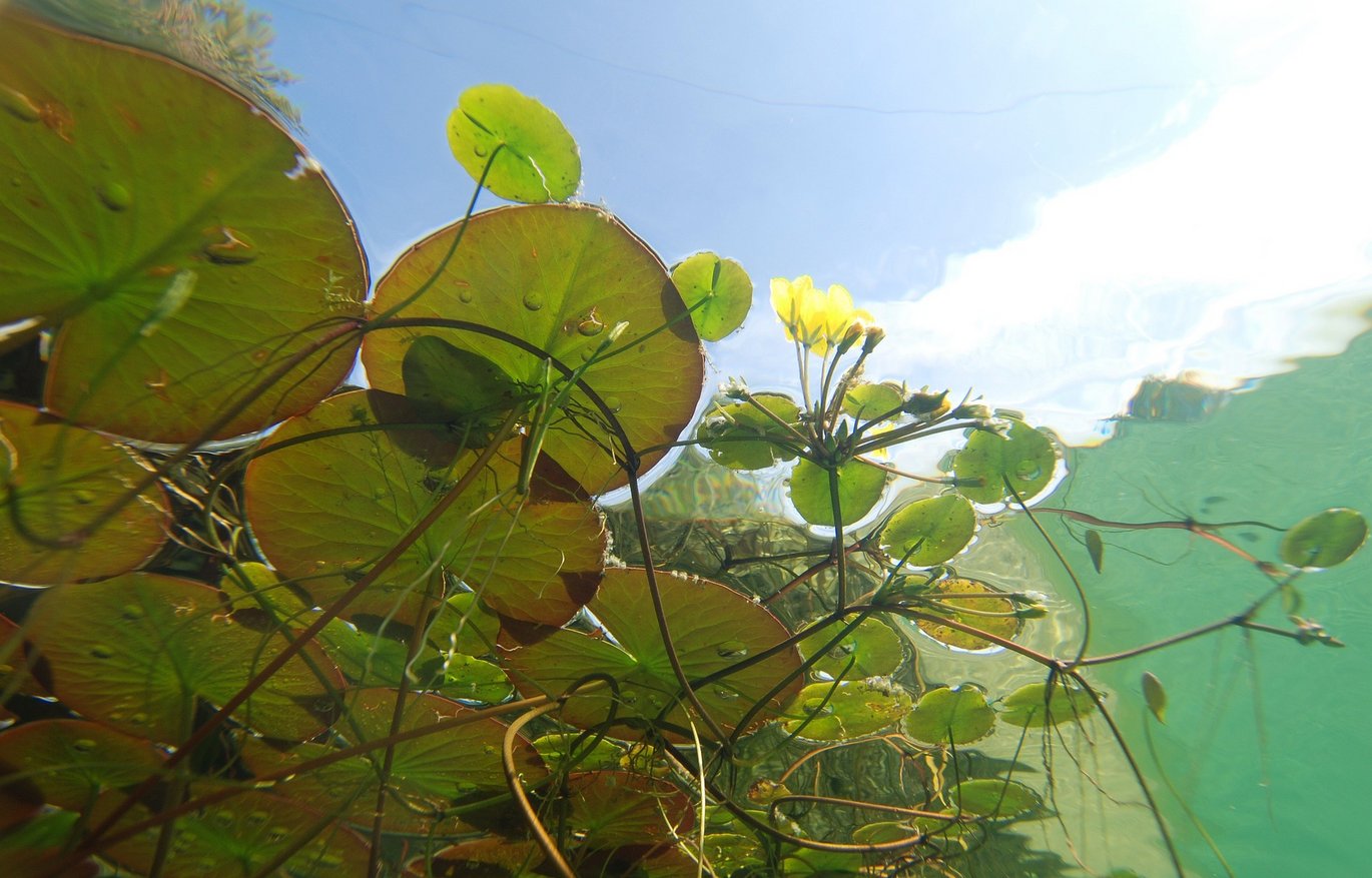
Climate (climatopes, climate information)
Tropical nights, heatwaves, heavy rain: Climate change has long been a reality in the Stuttgart Region. In 2008, all the data on the current and predicted climate was compiled in the Stuttgart Region Climate Atlas. It provides basic information on wind, solar radiation, temperature and precipitation in the Stuttgart Region. Based on this, statements are made about where cold air develops and how air exchange takes place. Above all, the data and measurement results on temperature, cold air formation and runoff as well as the climatope and planning information maps are important for taking the "climate" as a protected resource into account in spatial planning. Climatopes describe areas with similar microclimatic characteristics, for example urban climate, forest climate or open land climate.
The planning information maps were created specifically to provide technical support for the regional plan and land use planning. They contain area demarcations with various notes on changes of use or with requirements for action steps.
The vulnerability analysis also plays an important role: it examines the vulnerability of the Stuttgart Region caused by climate change. Analysis results are available for the areas of water, health, nature conservation, biodiversity, agriculture and forestry.
The data is an important basis for sustainable urban development.
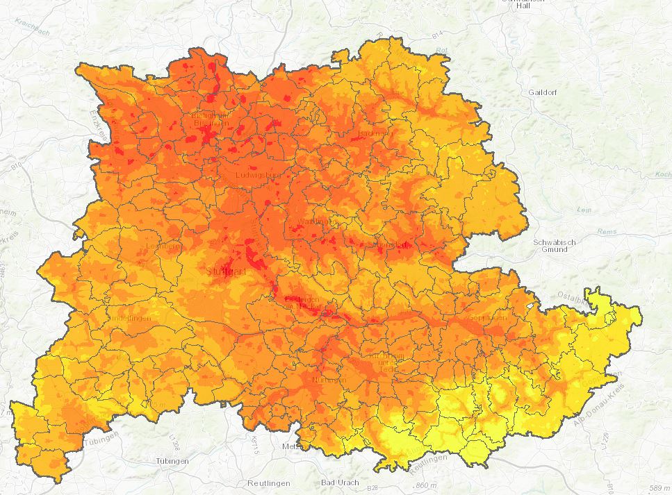
In order to support local authorities in climate-adapted planning, the Verband Region Stuttgart and the University of Stuttgart published the new digital climate atlas for the Stuttgart Region in 2025. As part of the ISAP (Integrative Urban-Regional Adaptation Strategies) project, an online tool was developed that provides well-founded information, maps and recommendations for action - practical, data-based and freely accessible.
The new climate atlas replaces the previous one from 2008 and contains up-to-date data and scenarios - including for a possible global warming of two degrees Celsius. Heat and heavy rain hazards, cold air currents and particularly vulnerable population groups or sensitive infrastructures can be displayed and analyzed on interactive maps. A particular highlight is the new heavy rain hazard map for the entire region.
Floor
For planning purposes, the quality of a soil is defined by the combination of the various functions that the soil performs, e.g. as a location for crops, as a filter and buffer for pollutants or as a balancing body for the water cycle. This is illustrated in a soil quality map.
There is only a very small proportion of low-value soils in the Stuttgart Region. The largest proportion, 33 percent, is made up of soils of medium quality. Of very high quality are 14 percent of the soils, which cover a total area of 504 km². Twenty percent of the region's area is not assessed as it is used for settlement and transportation purposes.
The suitability of soils as sites for natural vegetation is not included in the overall assessment of soil quality because it would often produce contradictory results. Sites with extreme conditions often provide a habitat for specially adapted and therefore rare species.
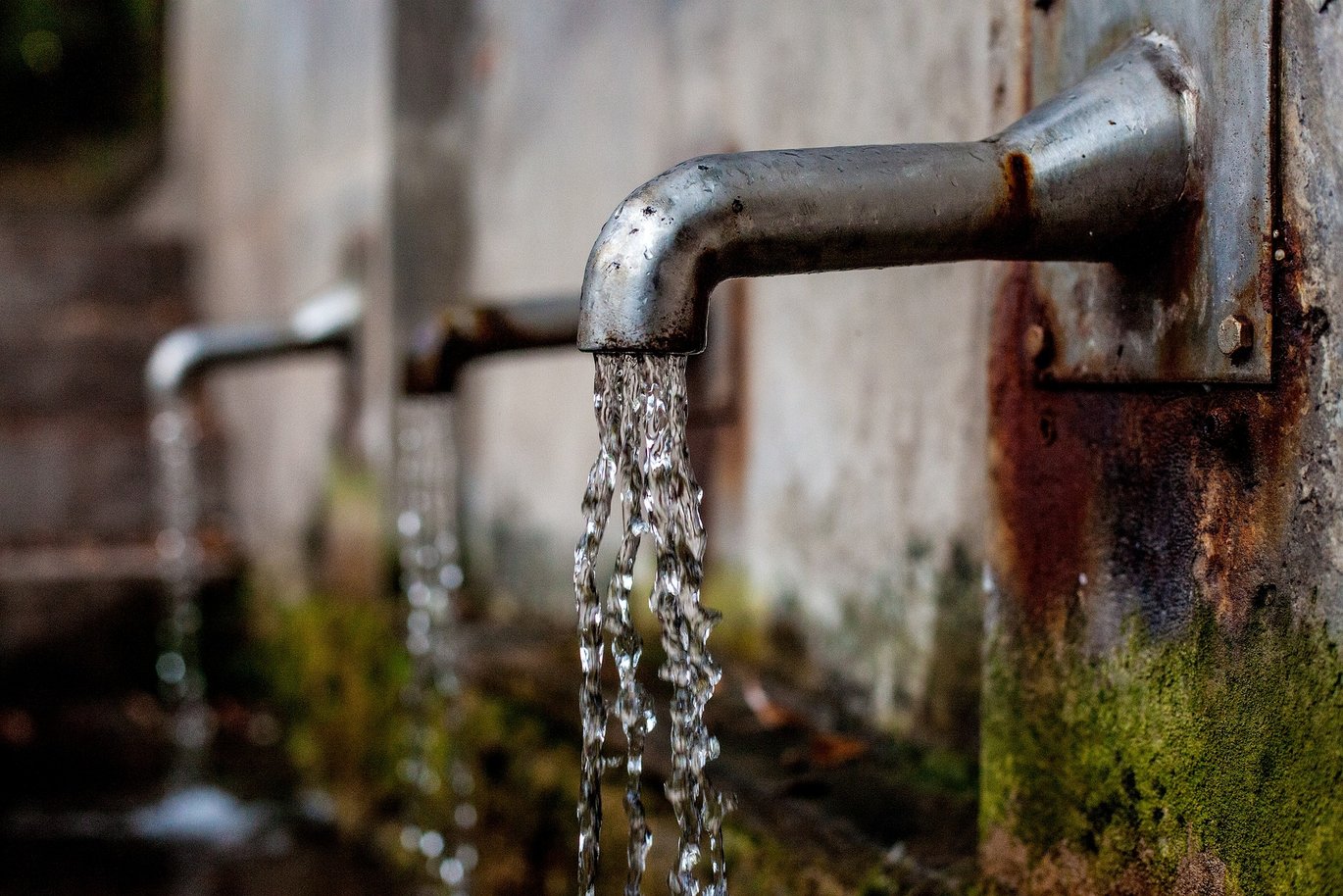
Groundwater
Areas contribute to groundwater recharge to varying degrees depending on their type. This surface characteristic is measured in the groundwater recharge rate. If an area is sealed, the extent to which impairment of groundwater recharge is to be expected depends on this rate. Sealing areas with a high rate naturally has a much greater impact than areas with a low rate. An overview map of groundwater recharge enables a differentiated assessment of the various locations.
Species and biotopes
In the Stuttgart region, biotopes are mapped in larger functional spatial units. These units are also referred to as biotope type complexes (BTK). In addition, habitat structure types were recorded, which allow conclusions to be drawn about the occurrence of certain species. Habitats are "living spaces" for animals or plants. Mapping is an important tool for evaluating areas for species and biotope protection purposes and for assessing the suitability of areas for the regional biotope network.
The biotope type complexes are of varying relevance for species and biotope protection depending on their value. They can be divided into three different categories. In the Stuttgart region, the locally important BTK predominate with 34 percent. 16 percent of BTK are of high value and therefore of regional importance. Large areas of high-quality biotope type complexes are increasingly found in the south of the region and along valleys and slopes (e.g. Neckar Valley, Rems Valley). The settlement area was not assessed.
In the past, nature conservation focused on the preservation of individual biotopes. For around 30 years, however, awareness has grown that small areas are not enough for many animal and plant species to survive. Biotope networking has become increasingly important.
When planning, the corridors of the general wildlife route plan are always taken into account and passed on to the municipal level as information.
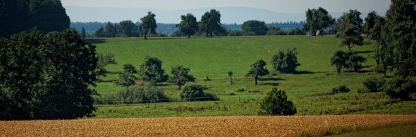
Landscape
The landscape of a region is essentially determined by the relief, water network, land cover and settlement. In turn, the type and density of settlement can be traced back to the nature of the topography, the earth's crust, the structure and properties of the soil, the climate and historical development. The landscape is assessed in terms of its character, diversity and beauty.
A comprehensive landscape assessment is available for the Stuttgart Region. The data for the assessment was collected by means of a computer-aided evaluation using a geographical information system, which was supplemented by a classic image assessment through interviews with people. The analysis provided results on the three aspects of character, diversity and beauty. In order to present the results clearly, the three individual aspects are summarized in an overall map of landscape quality. A classification into five value levels further simplifies the presentation.
The Albtrauf stands out due to its clearly pronounced relief and the very different vegetation (orchards, juniper heaths, beech forests) on the slopes with a very high landscape quality. The rural areas in the east of the region and the Schönbuch, Schwäbisch-Fränkischer Wald and Stromberg/Heuchelberg nature parks also have a high landscape quality. The more agricultural areas of the Gäulandschaften and the Albvorland between Kirchheim/Teck and Göppingen are of medium quality. The Neckar basin and areas around Böblingen/Sindelfingen have a lower to sometimes very low landscape quality.
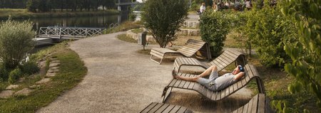
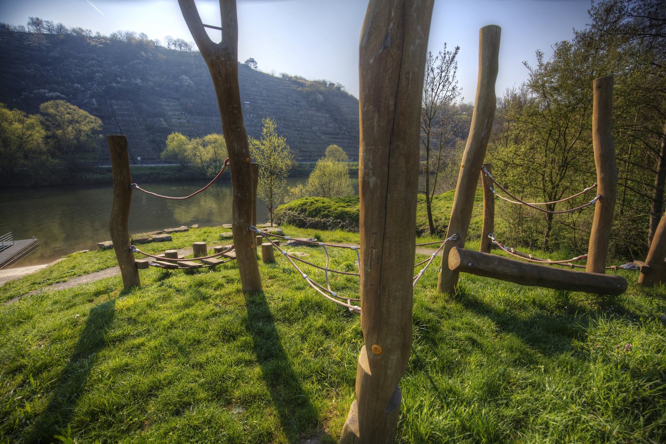
Recreation
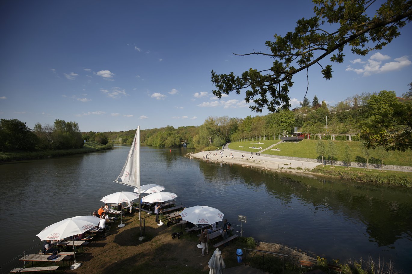
The recreational effectiveness of a landscape depends on various parameters. The quality of the landscape can provide an initial indication of this, as can the degree of fragmentation caused by roads, railway lines or settlements. Further information on the recreational suitability of the landscape is provided by a study that combines land use data and noise pollution.
The result shows that the large forest areas in the Schurwald, Welzheimer Wald, Schwäbischer Wald, Stromberg/Heuchelberg Nature Park and Schönbuch are less exposed to noise pollution and are well suited for recreation due to the existing biotope structures (green areas). These quiet areas with recreational structures, such as bodies of water, forests or orchards, make up the largest proportion of the Stuttgart Region at 42 percent. For a densely populated region, this is a surprising figure that shows how fragmented the space here is between intensively used areas and quiet open spaces.
Throughout the region, the development axes are clearly recognizable by the noise bands along the road and rail routes. The Albtrauf also appears heterogeneous because it is dissected by the A8 and B10. The noise pollution itself impairs the recreational quality of the forests around Stuttgart. However, these generally have many recreational landscape structure elements. Overall, these areas with low noise pollution and good, recreationally effective structures cover around 15 percent of the region (560 km²).
The quiet areas without recreational structures account for 13 percent of the area. These large-scale, arable areas are located on the foothills around Ludwigsburg and south of Stuttgart in the direction of Böblingen and Herrenberg.
A good quarter of the region is unsuitable for near-natural recreation as residential and commercial areas or due to heavy noise pollution.
Regionally significant cultural monuments
In order to protect the cultural heritage of the Stuttgart Region, you need to know about it. Almost 1,100 regionally significant cultural monuments are listed in the brochure "Regionale Kulturdenkmale" (Regional Cultural Monuments) and shown on the accompanying map of the Stuttgart Region. The publishers, Verband Region Stuttgart and Landesamt für Denkmalpflege, are united by the common goal of preserving the cultural landscape by recording its legacy and making it a tangible experience. Whether burial mounds, mills, ruins or a chapel - all the testimonies tell a story.